Manhole surveying is an essential part of maintaining and managing drainage and sewer systems. It provides valuable information about the condition of manholes, which are crucial components of these systems. This process is particularly important when drainage system records are poor, missing, or when operational issues such as excess water infiltration or blockages are discovered.
What is Manhole Surveying?
Manhole surveying involves detailed GIS location, structural, and service condition surveying of manholes. The information collected is typically used to identify a specific problem within a sewer or drainage system, or to provide new records where information is out-of-date, of low quality, or absent.
The survey information typically includes chamber and shaft sizes, construction materials, cover and invert levels, pipes entering and exiting the chambers and their invert levels and diameters. This data is crucial for understanding the current state of the manhole and identifying any potential issues that may need to be addressed.
The Importance of Manhole Surveying
Manhole surveying is a critical part of maintaining a healthy and efficient drainage system. By identifying potential issues early, you can prevent costly repairs or replacements down the line. Moreover, regular manhole surveying can help extend the lifespan of your infrastructure, ensuring it continues to operate efficiently for years to come.
Our Approach to Manhole Surveying
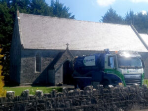
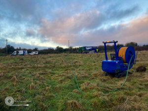
At Glancy Enviro, our experienced survey teams undertake detailed manhole surveys. We use the latest GPS surveying equipment to collect accurate positional data for the asset, both vertically and horizontally. This data is either recorded in hard copy site survey card form or input directly into rugged handheld data capture devices.
We are often asked to make an overall condition assessment and apply a structural and service grade or scoring objective measures. Coordinates and levels can be established using existing maps or via GPS equipment as defined by the client requirements.
All manhole information collected is output into the client’s preferred format. Our recommended format for clients when building a GIS Sewer Network database is InfoNet. InfoNet is a purpose-built Infrastructure Management System (IMS) for water distribution, wastewater collection, and stormwater networks. InfoNet allows us to gather, manage, and present data in a cost-effective manner for our customers.
In conclusion, manhole surveying is a critical aspect of maintaining a healthy and efficient drainage system. By identifying potential issues early, you can ensure the longevity and efficiency of your infrastructure, saving you time and money in the long run. At Glancy Enviro, we are committed to providing high-quality manhole surveying services, helping you maintain the health and efficiency of your drainage infrastructure. As we continue to innovate and improve our services, we look forward to providing even more effective solutions for manhole surveying and maintenance.